Article
Faro to Lagos is about 1 hour 15 minutes by car, while Tavira has hourly trains and an island ferry that leaves from the town centre.
The coastline on each side
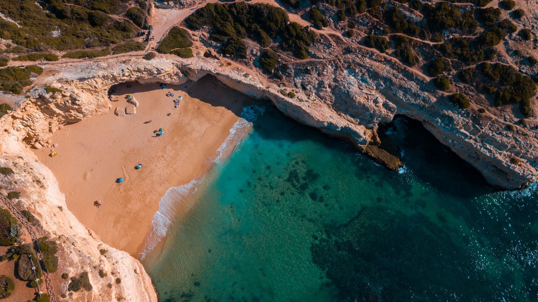
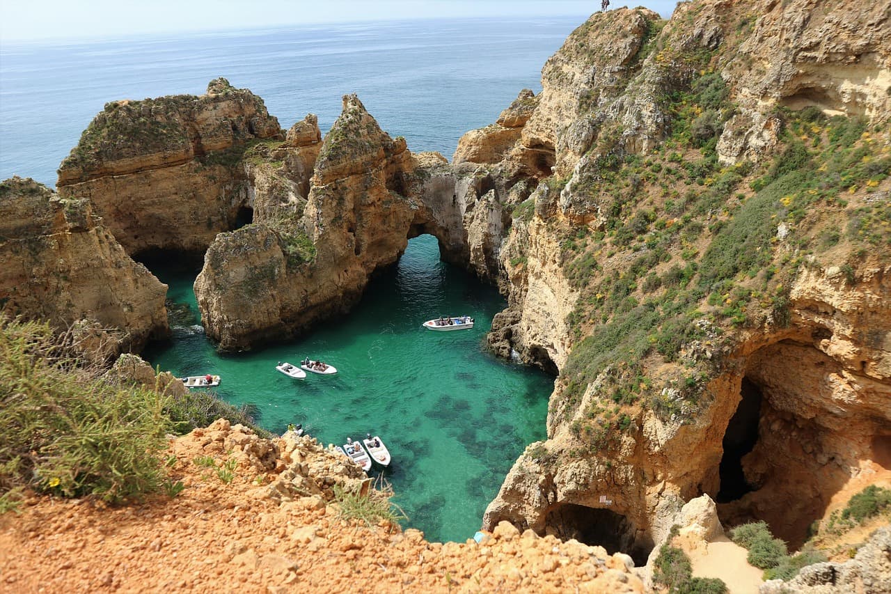
The Algarve divides into the Barlavento (west) and the Sotavento (east). The west is limestone cliffs carved into sea caves and rock stacks, with Ponta da Piedade near Lagos and the Benagil Sea Cave on the stretch between Albufeira and Lagos. The east sits behind the Ria Formosa Natural Park, which toursinalgarve.com puts at 18,000 hectares of lagoons, salt marshes and barrier islands.
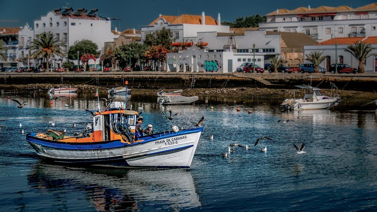
Eastern beaches are mostly on islands: Ilha de Tavira, Ilha da Fuseta, Ilha de Cabanas and Culatra, reached by ferry or small boat from Tavira, Fuseta, Cabanas and Olhão. algarve-south-portugal.com describes Ilha de Tavira as eleven kilometres of sand, with a ten-minute ferry from Quatro Águas. Manta Rota is the exception: you walk straight onto the beach.
Pick the west if caves, cliff paths and surf top your list. Pick the east if you want lagoon walks and island beaches you reach by boat.
Sea, wind and heat
- toursinalgarve.com says eastern water is typically 2 to 3°C warmer than the west, and that Sagres is significantly windier because of its Atlantic exposure.
- Turismo do Algarve's walking guide gives average temperatures of around 18 °C on the Sotavento coast, with summer maxima above 30 °C and night minimums at or above 20 °C.
- The same guide says rain falls mainly between October and February, with almost none from June to September.
- algarve-south-portugal.com finds the summer sun between midday and four uncomfortable for sightseeing, and names September as the month the sea is at its warmest.
Pack a windbreaker for Sagres and aqua shoes for the eastern shellfish zones, as toursinalgarve.com advises. In July and August, sightsee in the morning and head to the beach late in the afternoon.
Western bases: Lagos to Sagres
Lagos keeps a stretch of town wall along the waterfront, broken by the arched Porta São Gonçalo. The Rua da Barroca leads to the Town Hall through the Porta da Vila, and Turismo do Algarve's Tours and Trails brochure dates the start of work on the Church of Santa Maria in the Praça do Infante to 1498. Ponta da Piedade is where the cliffs begin west of the bay.
Heading west, Boca do Rio has the site of a Roman salting station where garum was made, and at Salema fishing boats come in on the tide onto the beach. Vila do Bispo has whitewashed streets with granite doorsteps, and Turismo do Algarve dates the menhirs around it to 4,000 to 3,000 BC. The Fortress of Sagres, rebuilt by Dona Maria I, holds a museum, an exhibition room and a historic chapel, with Cape St Vincent beyond.
Turismo do Algarve's Tour of Sagres strings these together as a road loop of about 122 km from Lagos and back via Pedralva, Budens and Barragem da Bravura.
For Benagil, toursinalgarve.com reports that authorities have limited beach access to the cave in 2026 and suggests a boat tour from Lagos or Ferragudo instead. No 2026 fare or duration is published on toursinalgarve.com's comparison page, which also warns against driving to Benagil at noon because of parking.
Eastern bases: Tavira, Olhão and the villages
Tavira sits on both banks of the Gilão River, joined by a low arched bridge of Roman origin, with a hilltop castle and gardens above the old centre. algarve-south-portugal.com puts it 40 kilometres from Faro Airport with hourly trains, and the ferry to Ilha de Tavira leaves from the town. Places to stay range from the Pousada Convento Tavira to rental apartments along the river.
Olhão is a working fishing port with cube-shaped houses and two red-domed market halls on the waterfront, one for fish and one for fruit and vegetables. Ferries run from here to the Ria Formosa islands; toursinalgarve.com advises reaching the Olhão and Fuseta piers before 10:00 AM to beat the ferry queues.
- Monte Gordo: larger hotels, a small casino, a palm-lined promenade and a flat, gently sloping beach.
- Cabanas: a wooden boardwalk facing the lagoon, with a small boat across to Ilha de Cabanas.
- Fuseta: a harbour, a tree-shaded square and a short ferry to Ilha da Fuseta.
Walking and wildlife
Turismo do Algarve's Guide to Algarve's Walking Trails lists 47 trails across the Vicentina Coast, South Litoral, Barrocal, Serra and Guadiana. In the west, one trail follows a wooden walkway along the dune strand of the Ria de Alvor, where shellfish gatherers pick cockles at low tide. The same guide places Vilarinha's stone alignment, four red sandstone menhirs it dates to about 6000 to 4500 BC, in the western hills.
In the east, a Ria Formosa trail starts at the access bridge to Ancão beach. At low tide you can watch fiddler crabs and waders on the silt banks; further on, a freshwater lake has a birdwatching observatory where the Western swamphen lives, and the trail passes ruins of Roman fish salting tanks. Lagoa dos Salgados is classified by BirdLife International as an Important Bird Area. Time the Ancão walk for low tide and bring binoculars.
Getting around
Fly into Faro for either side. toursinalgarve.com gives about 1 hour 15 minutes by car from Faro to Lagos, says you need a car in the west to reach clifftop trailheads, and notes difficult parking in the old towns of Lagos and Albufeira. In the east, the Linha do Algarve train links Faro, Olhão and Tavira, and algarve-south-portugal.com points out that from Tavira you can reach Vila Real de Santo António by train without a hire car. To cover both coasts, toursinalgarve.com suggests 7 to 10 days.


About the Author
Active Algarve Team
Sharing the best of the Algarve with our readers.
Get the Algarve Insider
Hidden trails, local events, and experiences worth booking.
No spam. Unsubscribe anytime.
Related Guides
Discover more of the Algarve
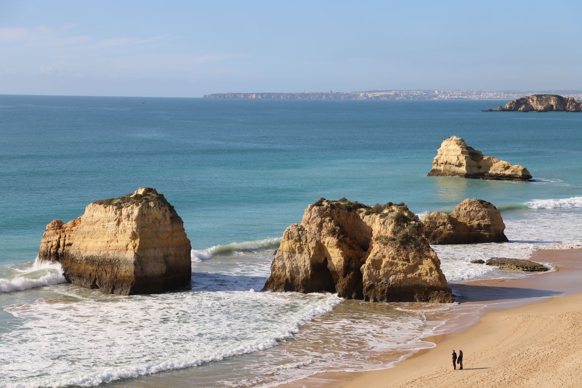
Things to Do in Portimão: Your Complete Algarve Guide
Discover Portimão's golden beaches, riverside charm, boat trips to sea caves, and fresh grilled sardines in this comprehensive Algarve city guide.