About This Route
Coast-to-coast cycling path from Cabo de São Vicente to Vila Real de Santo António, following the entire Algarve coastline.
The Ecovia do Litoral is the Algarve's coast-to-coast cycling route, a 214-kilometre ribbon of tarmac, gravel, and boardwalk that runs the entire length of the region from the cliffs of Cabo de São Vicente in the west to the Spanish border at Vila Real de Santo António in the east. It's not a race, and it's not a mountain stage—it's a long, undulating journey through every landscape the Algarve has to offer, from surf beaches and fishing villages to salt marshes and pine forests.
The route is designed to be ridden in sections, and most cyclists tackle it over several days rather than attempting the full distance in one go. The terrain is varied—some stretches follow quiet country roads, others use dedicated cycle paths, and a few sections skirt the edge of busy towns where you'll need to navigate roundabouts and traffic. The western half is more rugged and less developed, with longer gaps between villages. The eastern half runs through the Ria Formosa and the flatter, more populated coast around Faro and Tavira.
Eighty hours is the official duration, but that's a planning figure rather than a realistic riding time. Most people cover thirty to fifty kilometres a day, which leaves time to stop for lunch, visit a beach, or detour into a town. The route is waymarked with blue signs, though in places the signage is patchy and a GPS track or a decent map is a sensible backup.

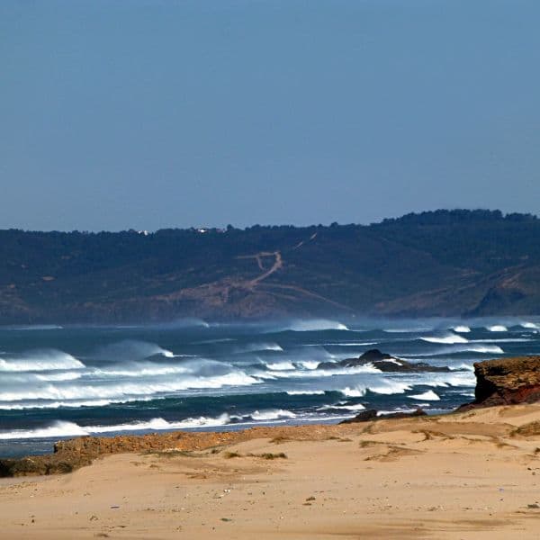
The scenery is the reward. You'll ride through cork oak groves and eucalyptus plantations, past whitewashed villages where old men sit outside cafés, and along clifftops where the Atlantic crashes against the rocks below. The eastern section takes you through the heart of the Ria Formosa, with its tidal channels, salt pans, and birdlife. In spring, the verges are thick with wildflowers; in autumn, the light is softer and the heat less oppressive.
This is a route for confident cyclists with some touring experience. You don't need to be racing-fit, but you do need to be comfortable spending several hours a day in the saddle, and you'll need to carry spares, tools, and enough water for stretches where services are sparse. The route is mostly flat or gently rolling, but there are a few climbs, particularly in the west, and the wind can be a factor—westerlies are common, which means a headwind if you're riding west to east.
Accommodation is plentiful along the route, from campsites to guesthouses, and most towns have bike shops for repairs or replacements. Starting from either end is fine—Cabo de São Vicente is more dramatic, Vila Real more practical. Spring and autumn are the best seasons; summer is hot and crowded, winter can be wet and windy. If you're flying in, Faro is the most convenient airport and sits roughly midway along the route, which makes it easy to ride half, fly home, and return to finish the rest another time.
Prefer a Guided Tour?
Go with a local guide who knows the best spots along this route
Twister Private Water Tubing in the Algarve
From €15
Water Ski Experience Algarve
From €50
Banana Private Water Tubing in the Algarve
From €20
Elevation Profile
Trail Details
What's Nearby
Discover more within 10km

Algarve
Portugal's sun-drenched southern coast — over 100 beaches, dramatic limestone cliffs, world-class surf, and 300+ days of sunshine a year. The ultimate destination for outdoor adventure in Europe.
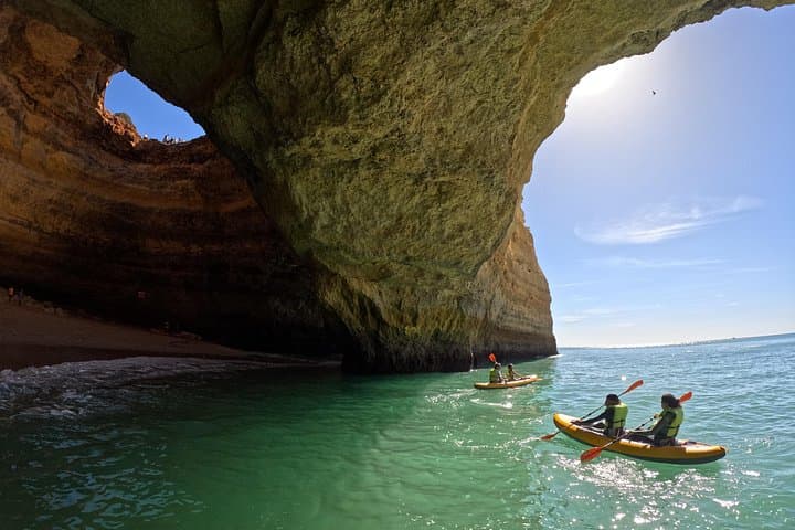
Private Kayak Tour to the Benagil Caves with 4K Photos
If you want to enjoy a private and more intimate experience this is your best choice. This tour is made for those who would like to go along with a guide and have a more personalized adventure in...
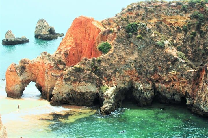
Visit Secret Caves, Hidden Beaches and Snorkel in Alvor, Portugal
Perfect for first time and experienced snorkelers Children friendly (floating platforms provided) This half day tour is known to be one of the most relaxing and fulfilling experiences offered in...

Sunrise Small Group Kayak Tour to the Benagil Cave & 4K Photos
Avoid the masses: Carvalho's beach is just 5 min away from Benagil beach, but is just enough so we avoid the crowds

Algarve Tandem Skydive 15k ft (4600m)
Our activity stands out as the premier skydiving experience in Portugal, offering a thrilling tandem jump from 15,000ft with stunning views of the Algarve coastline. No previous experience is...
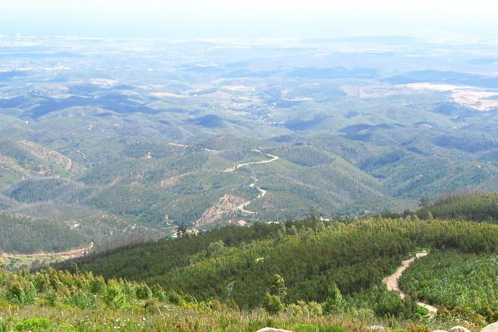
Algarve wine tour and mountain top trip with lunch or dinner at sunset time
Join an intimate wine tour of two local vineyards/farms and their cellars, guided by a wine expert and learn about all the process of winemaking, from the vineyard to the bootle. Enjoy tasting three...
More Routes to Explore
Discover more of the Algarve
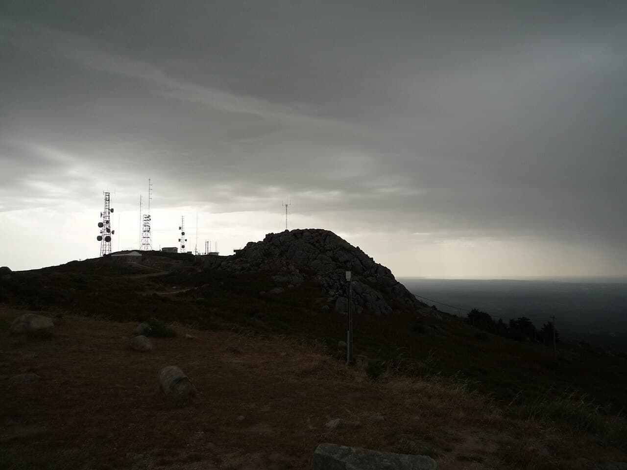
Fóia Trail
The official PR3 MCQ circular on the Algarve's highest mountain: 6.8 km starting at the Fóia summit car park, descending to the EN 266 and climbing back. Rated somewhat difficult, with rare Monchique rhododendron in spring.