
About This Route
A scenic loop from the highest point in the Algarve (902m) through cork oak forests and eucalyptus groves, with panoramic coastal views.
Fóia Trail (PR3 MCQ)
At 902 meters, Fóia is the Algarve's rooftop - and on a clear day, the views stretch from Faro in the east to Sagres in the west. This loop trail takes you through the diverse landscapes of the Serra de Monchique.
The Landscape
The Serra de Monchique is unlike anywhere else in the Algarve. Thanks to its volcanic soil and high rainfall, the mountains support lush vegetation including cork oak forests, eucalyptus groves, and native rhododendrons.
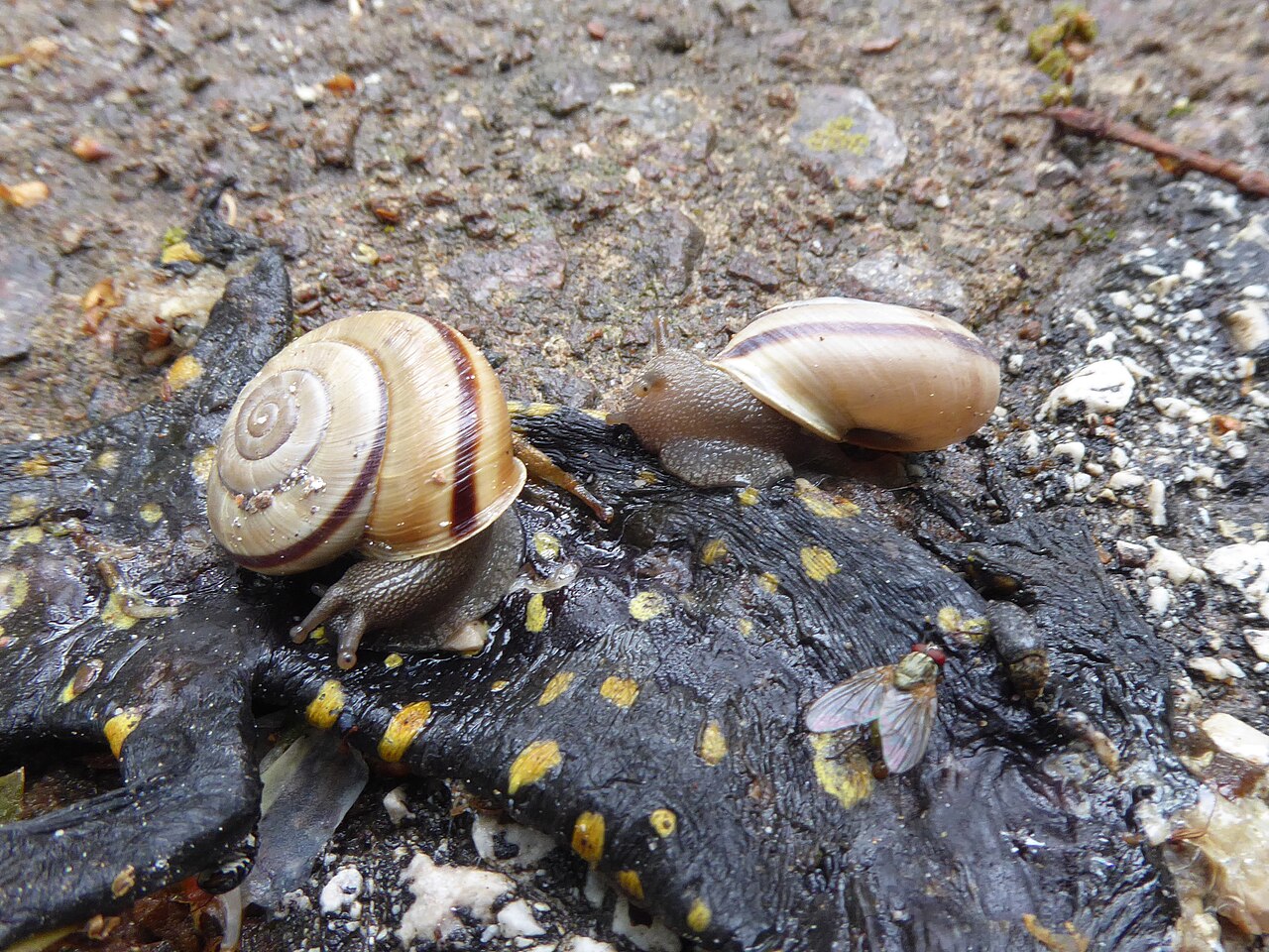
Wildlife
Keep an eye out for the Iberian green lizard and listen for Bonelli's eagle circling on thermal currents above the escarpment.
At the Summit
The summit is accessible by road, so don't expect solitude at the top. However, the journey through the forests more than compensates.
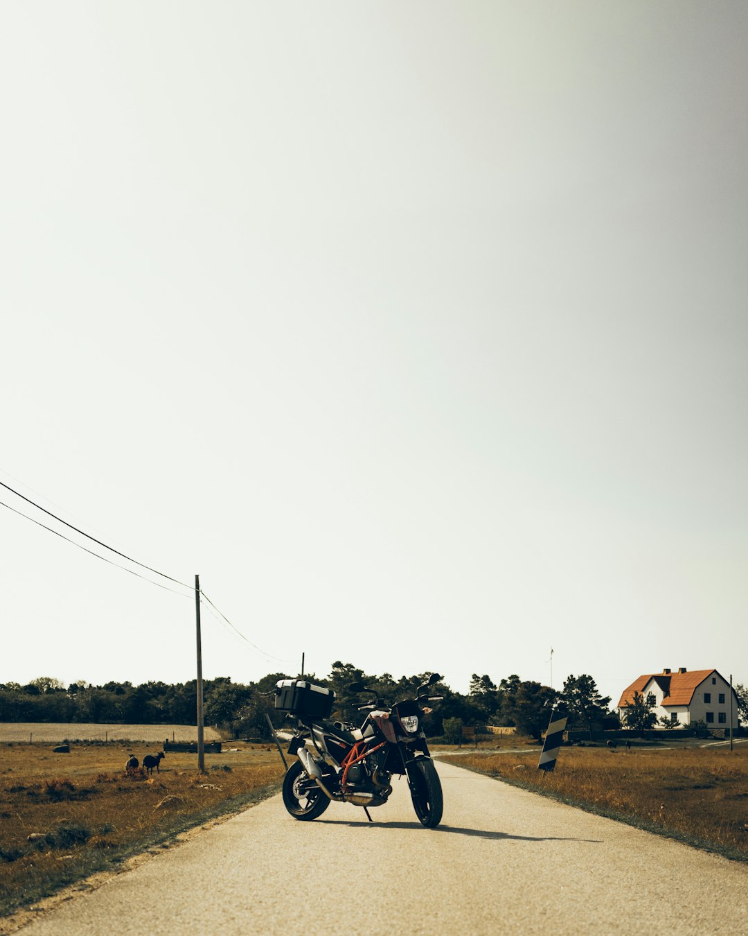
Getting There
The trail starts from the Fóia summit car park. You can drive up or, for a more challenging day, walk from Monchique village.
Prefer a Guided Tour?
Go with a local guide who knows the best spots along this route
Algarve Wine Tour of Two Wine Estates
From €77
Benagil Cave - Sunrise or Sunset Kayak Tour (Small groups)
From €32
Algarve Tandem Skydive 15k ft (4600m)
From €219
Elevation Profile
Trail Details
Safety Notes
Can be windy at the summit even in summer. Trails may be muddy after rain. Wear waterproof boots with good grip.
Best Time to Visit
Best in spring when wildflowers bloom. Cooler temperatures than the coast. Avoid in rainy conditions.
What's Nearby
Discover more within 10km


More Routes to Explore
Discover more of the Algarve

São Lourenço Trail
An easy loop through the wetlands of Quinta do Lago, perfect for birdwatching with chances to spot flamingos and the rare Purple Swamphen.

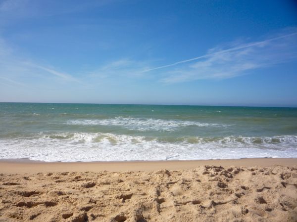
Pontal da Carrapateira
A rugged headland walk on the western Algarve coast, with dramatic cliffs, sweeping beaches, and some of Portugal's best surf spots.

Trail of the Headlands
A clifftop walk along the central Algarve coast, passing the historic Torre da Lapa watchtower and offering dramatic ocean views.