About This Route
A rugged headland walk on the western Algarve coast, with dramatic cliffs, sweeping beaches, and some of Portugal's best surf spots.
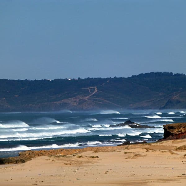
The western Algarve is a different proposition entirely from the sheltered coves and resort towns of the south coast. Here, the Atlantic arrives unimpeded, carving cliffs into jagged profiles and throwing up surf that draws boarders from across Europe. The Pontal da Carrapateira walk explores this landscape at its most dramatic, following a circular route around a broad headland where the cliffs glow ochre and rust in the afternoon light and the beaches below are wide, wild, and often empty.
The walk is part of the Rota Vicentina network, which means the waymarking is clear and the route is well-trodden without being overcrowded. The circuit takes around three hours at a steady pace, covering roughly eight kilometres of coastal path, clifftop trail, and brief inland stretches. The terrain is generally easy — mostly level or gently rolling, with a few short climbs — but the exposure can be significant on windy days, and the clifftops are unfenced, so keep children and dogs close if either are prone to wandering.
You start and finish in the village of Carrapateira, a small, surf-focused settlement with a couple of cafés, a minimarket, and not much else. The headland itself juts out between two sweeping beaches — Praia do Amado to the north and Praia da Bordeira to the south — both of which are visible from the higher points of the walk. Amado is one of the Algarve's most consistent surf breaks, and even if you have no intention of paddling out, watching the lineup from the cliffs is part of the experience. The beach at Bordeira is broader and quieter, backed by dunes and a tidal estuary that floods and drains with the tide.
The cliffs themselves are the real draw. The rock here is sedimentary, layered in bands of orange, yellow, and deep red, and the erosion patterns create fins, stacks, and undercuts that shift with every storm. Birdlife is abundant — the coast is part of the Parque Natural do Sudoeste Alentejano e Costa Vicentina, and the cliffs provide nesting sites for peregrine falcons, choughs, and several species of gull. Bring binoculars if you are interested, though the birds are often close enough to see clearly with the naked eye.
The walk is exposed, with little shade and often a strong wind off the ocean, so plan accordingly. Bring water, sun protection, and a windproof layer even if the morning looks calm — conditions can shift quickly on this coast. The path is mostly firm underfoot, but there are sections of loose sand and rock, so sturdy footwear is advisable. There are no facilities on the route itself, so use the café or public toilets in Carrapateira before you set out.
Carrapateira is about forty minutes north of Lagos and a similar distance west of Aljezur, accessed via the N268. Parking is available near the village centre, and the trailhead is clearly marked. The walk is best in spring or autumn, when the wildflowers are out and the temperature is moderate. Summer can be hot and crowded, winter wet and windswept, though the landscape has a stark beauty in any season.
This is not a challenging walk by any measure, but it is a rewarding one. The scenery is spectacular, the sense of space and exposure is exhilarating, and the contrast with the gentler, more manicured south coast is striking. If you want to see a different side of the Algarve — one where the ocean still has the upper hand and the landscape feels raw and unfinished — the Pontal da Carrapateira is an excellent place to start.
Prefer a Guided Tour?
Go with a local guide who knows the best spots along this route

Stand Up Paddle Amoreira River Tour / Aljezur
From €52

Surf lesson for all levels in Aljezur, Portugal
From €55
Elevation Profile
Trail Details
Safety Notes
Very exposed to wind. Cliff edges are unstable. Some steep descents to beaches.
Best Time to Visit
Beautiful year-round. Best surfing in autumn/winter. Spring brings coastal wildflowers.
What's Nearby
Discover more within 10km
Carrapateira
Tiny surf village on the Costa Vicentina with exceptional beaches Bordeira and Amado. Popular with van lifers and digital nomads. Very limited facilities.
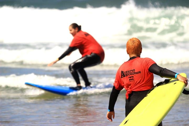
Surf lesson for all levels in Aljezur, Portugal
Surf lesson: Learning & teaching with fun! You want to learn how to surf? Or you want to improve your skills? No problem! We will help you to achieve your goals! Beginner, intermediate and advance...
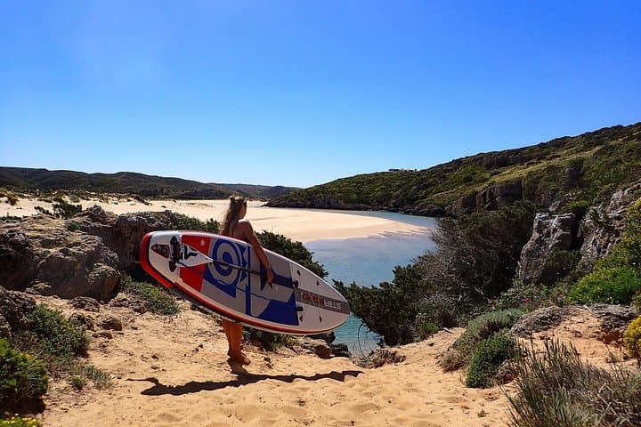
Stand Up Paddle Amoreira River Tour / Aljezur
Provided on every activity : -transfer back and forth (carbon offset included). -Eco Board + hybrid carbon Paddle , Wetsuit + lifevest - quick introduction to stand up paddle and safety rules...
Fisherman's Trail Carrapateira
Spectacular 22km coastal walk along untouched beaches and dramatic cliffs on the Vicentine Coast, part of the famous Rota Vicentina.
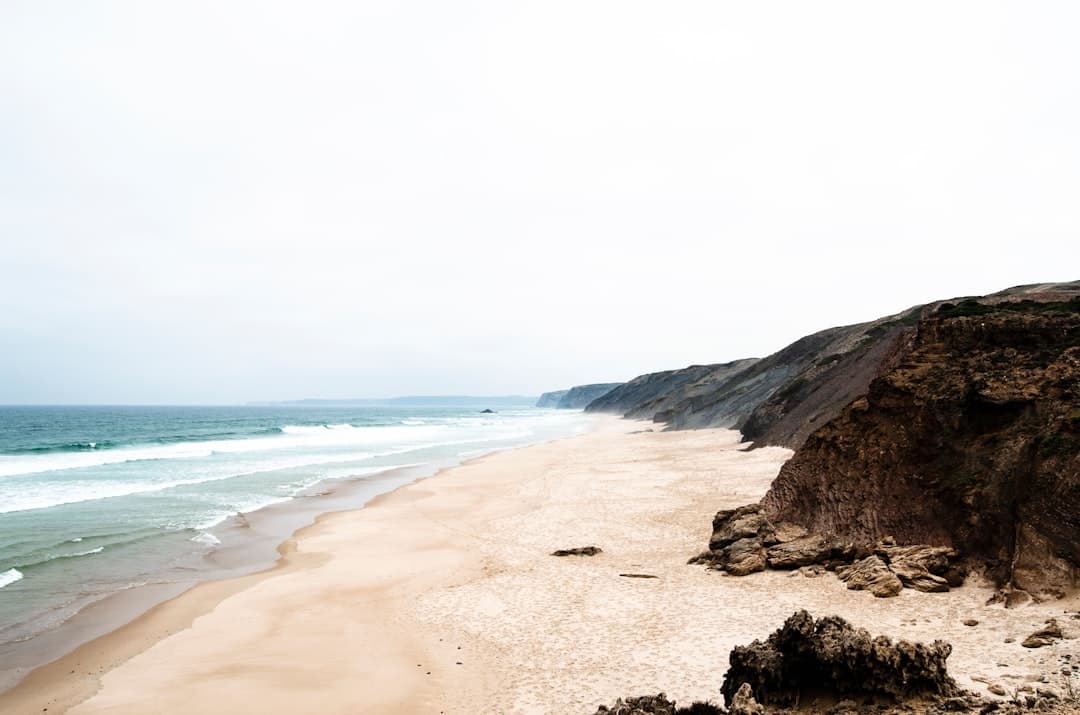
Praia da Bordeira
Expansive sandy beach backed by high sand dunes, near wild coastal hinterland and small village.

Benagil Long Boat tour (From Carvoeiro to Praia da Marinha)
Comfortable small fiberglass boats, visiting the interior of the most beautiful Benagil Seacaves, rockformations and deserted beaches located in Carvoeiro. Warmly welcomed by charming box office...
More Routes to Explore
Discover more of the Algarve
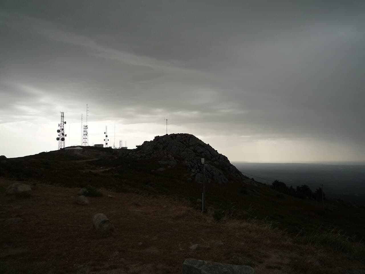
Fóia Trail
The official PR3 MCQ circular on the Algarve's highest mountain: 6.8 km starting at the Fóia summit car park, descending to the EN 266 and climbing back. Rated somewhat difficult, with rare Monchique rhododendron in spring.

