About This Place
The eastern start of the Via Algarviana — Portugal's 300 km coast-to-coast walking trail. Begins on the Guadiana River in Alcoutim and crosses the entire Algarve interior to Cape St. Vincent.
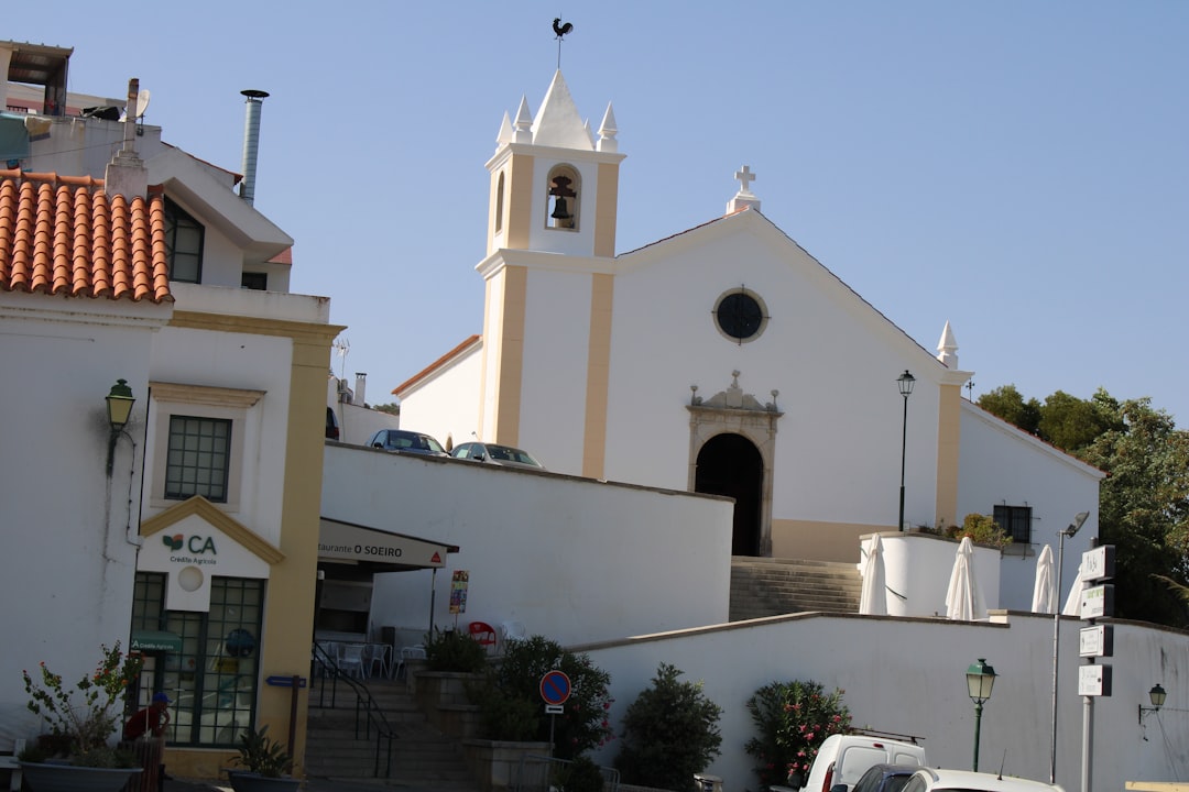
Via Algarviana — Alcoutim Trailhead
Alcoutim is the official eastern start of the Via Algarviana, the Algarve's 300 km long-distance walking trail. From here, the trail winds west across the rolling hills of the Algarve interior, through cork oak forests, almond groves, and traditional villages — all the way to Cape St. Vincent on the Atlantic coast.
The First Stages (from Alcoutim)
- Stage 1: Alcoutim → Furnazinhas (~14 km, 4–5 hours)
- Stage 2: Furnazinhas → Vaqueiros (~22 km, 6–7 hours)
- Stage 3: Vaqueiros → Cachopo (~28 km, 8–9 hours)
These first stages take you through some of the most remote parts of the Algarve — sleepy villages, abandoned schist hamlets, and silent hills.
Why Start Here
Alcoutim is a tiny riverside town on the Guadiana, looking across to Sanlúcar de Guadiana in Spain. It's atmospheric, quiet, and a perfect way to begin a long walk — slow mornings on the river before turning west.
Practical Info
- Waymarking: Red and yellow stripes (and the Via Algarviana logo)
- Best season: October–April (avoid summer heat)
- Maps & GPX: Available free at viaalgarviana.org
- Accommodation: Tiny guesthouses and rural tourism in villages along the route
- Water: Refill at every village fountain — carry 2L minimum between stages
Getting to Alcoutim
From Faro, drive the A22 east, then north on the IC27 to Alcoutim. About 1h 15min. Limited public transport — most walkers drive or arrange a transfer.
Getting Here
Weather & When to Visit
Hot and sunny with minimal rainfall. Peak tourist season with long days.
Sunshine
300+ days/year
Sea Temp
17–23°C
Tips for Summer
- Start outdoor activities early morning
- Stay hydrated and use sun protection
- Beach activities best before 11am or after 4pm
Best for this season
Best time to visit
April–June and September–October offer the best balance of pleasant weather, fewer crowds, and good prices.
Things to Do in Via Algarviana — Alcoutim Trailhead
Discover experiences, routes, and events

More Places to Discover
Discover more of the Algarve
Fóia — Highest Point in the Algarve
At 902m, Fóia is the highest point in the Algarve — the summit of the Serra de Monchique, with 360° views from the Atlantic coast to the Spanish border. Drive to the top, or hike from Monchique town.
Rocha da Pena
A 479m limestone plateau rising out of the Algarve's interior, with a 4.8 km loop trail past wildflower meadows, vultures overhead, and 360° views. One of the best short hikes in the Algarve.
Ria Formosa Natural Park
Vast lagoon ecosystem with barrier islands, salt marshes, and diverse wildlife; accessible by boardwalks and boat tours.