
About This Route
Scenic 6km loop around the limestone plateau of Rocha da Pena with caves, rare flora, and sweeping views.
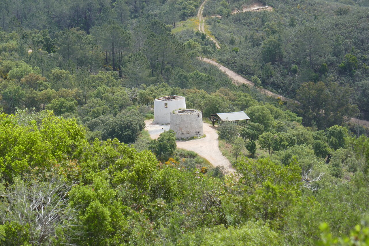
Rocha da Pena is a protected nature reserve featuring a dramatic limestone plateau rising from the surrounding hills. This moderate loop trail circles the formation and climbs to the summit.
Route Overview
The circuit begins at the visitor center and circles the plateau, with an optional climb to the 479m summit. The area is a geological and botanical treasure.
Highlights
- Limestone karst landscape - Unique rock formations and caves
- Endemic flora - Rare plants found nowhere else
- Prehistoric caves - Evidence of early human habitation
- Summit panorama - Views to the coast and Serra de Monchique
- Birds of prey - Eagles and vultures nest in the cliffs
Trail Details
Well-marked loop with information boards. The summit extension adds difficulty but rewards with better views.
Best Time
- Spring: Orchids and wildflowers bloom
- Autumn: Cooler hiking, golden light
- Early morning or late afternoon best for wildlife
Getting There
From Salir village, follow signs to Rocha da Pena. Small car park at the visitor center.
Prefer a Guided Tour?
Go with a local guide who knows the best spots along this route
Private Benagil Caves & Algarve Coast Boat Tour from Portimão
From €350
Boat tour Benagil Caves
From €28
Alvor Sunset Cruise 2 Hour Scenic Tour with Drinks
From €42
Elevation Profile
Trail Details
Safety Notes
Watch footing on loose limestone. Summit section requires some scrambling. Bring water and sun protection. Flash floods possible in caves - avoid in rain.
Best Time to Visit
Year-round but spring best for wildflowers. Summer hot but shorter than coastal walks. Good winter option when coast is windy.
More Routes to Explore
Discover more of the Algarve

Fóia Trail
A scenic loop from the highest point in the Algarve (902m) through cork oak forests and eucalyptus groves, with panoramic coastal views.

São Lourenço Trail
An easy loop through the wetlands of Quinta do Lago, perfect for birdwatching with chances to spot flamingos and the rare Purple Swamphen.

Pontal da Carrapateira
A rugged headland walk on the western Algarve coast, with dramatic cliffs, sweeping beaches, and some of Portugal's best surf spots.