About This Place
The southwestern tip of continental Europe — sheer 75 m cliffs, Portugal's most powerful lighthouse, and the finish line of both the Via Algarviana and the Rota Vicentina.
Cabo de São Vicente is the southwestern extremity of continental Europe — the point where Portugal's west coast turns the corner and becomes its south coast. It is often described as Europe's westernmost point, but that title belongs to Cabo da Roca near Sintra; São Vicente is the southwestern corner, which is a different and arguably more dramatic distinction. For centuries this was, in the Portuguese imagination, where the known world ended.
The headland
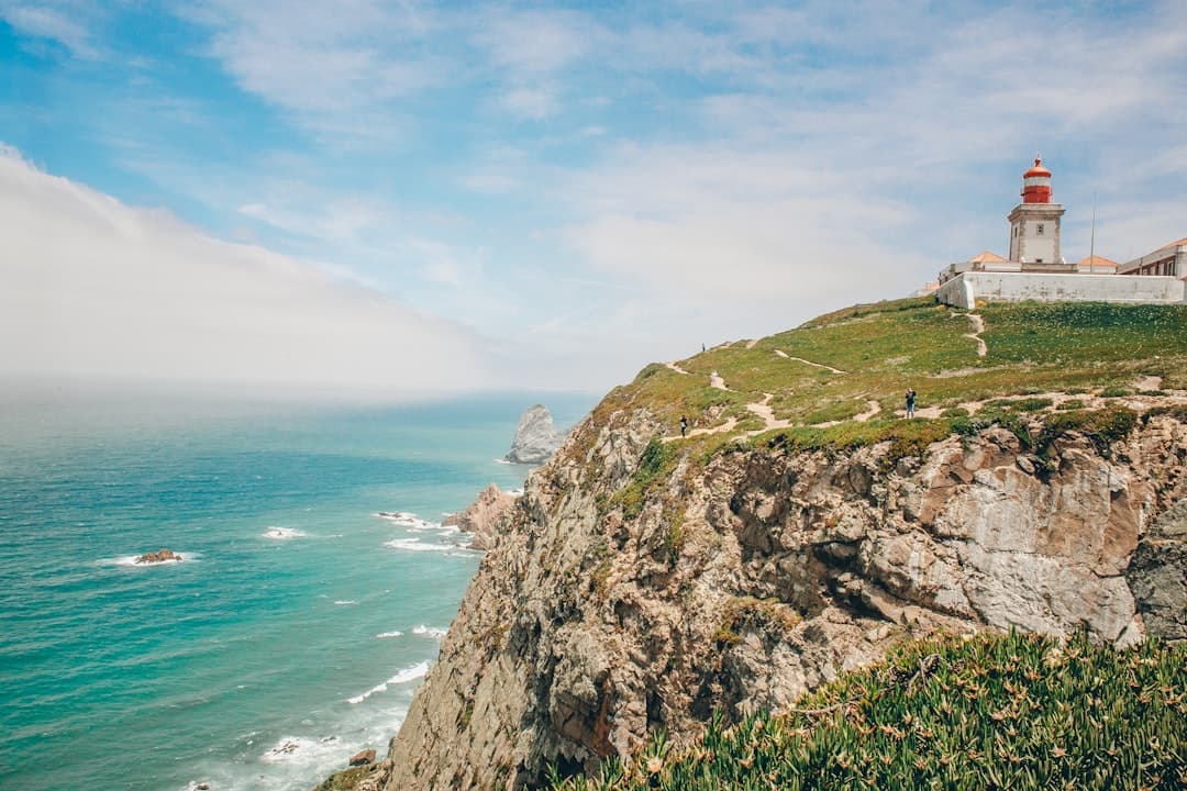
The cape is a blunt sandstone-and-limestone promontory that drops sheer into the Atlantic. The cliffs reach roughly 75 metres at the highest points, among the tallest on the Algarve coast, and the rock has weathered into terraces, pillars and stacks. There is no shelter anywhere on the headland. The wind blows almost constantly and can be strong enough to make footing genuinely unreliable near the cliff edge — every year people are blown off balance here, and the drops are unsurvivable. Stay well back from the edge, especially with children, and ignore the informal paths that lead out onto unfenced ledges.
The lighthouse
The Farol do Cabo de São Vicente sits at the tip of the headland. The current structure dates from 1846, built on the site of a sixteenth-century convent, and its lamp is among the most powerful in Europe — visible far out into the Atlantic. It remains an active, automated navigation aid marking the turn into the Gulf of Cádiz, one of the busiest shipping corners in the world. There is a small museum in the lighthouse complex covering Portugal's maritime and navigational history.
Two great trails finish here
Cabo de São Vicente is the western terminus of the Via Algarviana, the 308 km GR13 that crosses the Algarve from the Spanish border at Alcoutim. It is also the southern end of the Rota Vicentina's Fisherman's Trail, which runs north up the wild Vicentine coast. Walkers arriving on foot at the lighthouse after a fortnight in the hills tend to find the car park and the coach traffic a slightly jarring welcome — worth knowing in advance.
If you want a taste of that coastline without committing to a fortnight, the clifftop walk east from the cape towards Sagres is the obvious short version.
Birdlife
The cape sits on a major migration corridor. In autumn especially, raptors and seabirds funnel down the peninsula and cross here, and the headland is one of the better-known seawatching spots in southern Portugal. Bring binoculars in September and October.
The water
The beaches either side of the cape — Beliche and Tonel to the east, the Costa Vicentina beaches to the north — pick up serious Atlantic swell. Tonel in particular is one of the most consistent beginner-to-intermediate breaks in the region, and Sagres has a long-established surf scene built around it.
The rock architecture around the cape — the caves, blowholes and gullies at the base of the cliffs — is also some of the best coasteering terrain in Portugal, though it should only ever be done with an operator who knows the swell here.
Practical notes
The access road runs out from Sagres and ends at the lighthouse; there is a large free car park, a small café, and a line of stalls selling the famous — and genuinely enormous — sausage sandwiches. Sunset is the reason most people come, and in summer the car park fills well before it. Come in winter and you may have the place close to yourself, though the wind will be worse. The whole area sits inside the Parque Natural do Sudoeste Alentejano e Costa Vicentina, which is why development here has stayed minimal.
Getting Here
Weather & When to Visit
Warm and pleasant with fewer crowds. Sea temperature remains inviting.
Sunshine
300+ days/year
Sea Temp
17–23°C
Tips for Autumn
- Great time for cultural experiences
- Wine harvest season — visit local vineyards
- Sea is still warm enough for swimming
Best for this season
Best time to visit
April–June and September–October offer the best balance of pleasant weather, fewer crowds, and good prices.
Things to Do in Cabo de São Vicente
Discover Activities Across the Region
While we're adding more activities for Cabo de São Vicente, explore guided tours, coastal hikes, and unique experiences throughout the Algarve.
What's Nearby
Discover more within 10km

Sagres
The windswept southwestern tip of Europe — where Henry the Navigator planned the voyages that reshaped the world. World-class surfing, dramatic Atlantic cliffs, and a wild end-of-the-earth atmosphere.
Surf lesson for all levels in Aljezur, Portugal
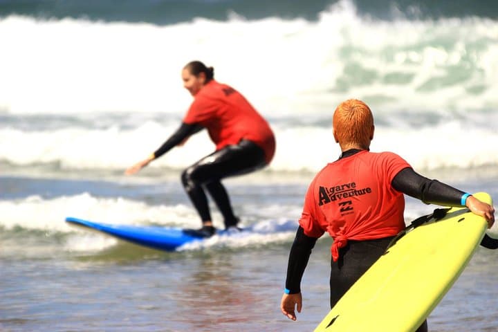
Surf lesson: Learning & teaching with fun! You want to learn how to surf? Or you want to improve your skills? No problem! We will help you to achieve your goals! Beginner, intermediate and advance...

Lagos Dolphin Watching Tour
Join marine biologists to spot dolphins in their natural habitat. Common, bottlenose, and Rissos dolphins are frequently seen.
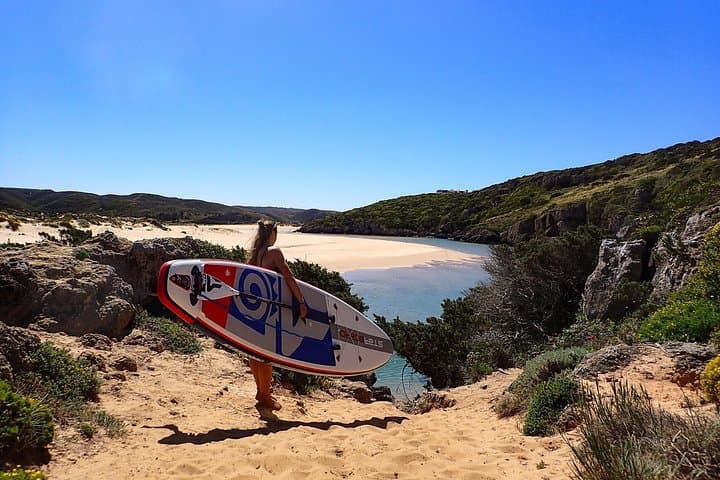
Stand Up Paddle Odeceixe River Tour
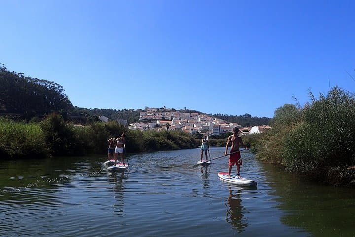
Provided on every activity : -Eco Board + hybrid carbon Paddle , Wetsuit + lifevest - quick introduction to stand up paddle and safety rules certified by an ASI instructor. -amazing photos of your...

More Places to Discover
Discover more of the Algarve
Vila do Bispo
The last town before the end of Europe — a working crossroads settlement in the far southwest, surrounded by the densest concentration of megalithic monuments on the Iberian Peninsula, and the final staging post on the Via Algarviana.