
About This Route
Portugal's iconic 300km long-distance trail traversing the entire Algarve from the Spanish border to Cape St. Vincent, crossing mountains, cork forests, and traditional villages.
Via Algarviana (GR13)
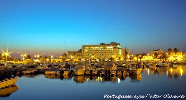
The Via Algarviana is Portugal's premier long-distance hiking trail, stretching 300 kilometers across the interior of the Algarve. This epic journey takes you from the banks of the Guadiana River in Alcoutim to the dramatic cliffs of Cabo de São Vicente, Europe's southwestern-most point.
The 14 Stages
| Stage | Route | Distance |
|---|---|---|
| 1 | Alcoutim → Balurcos | 24.2 km |
| 2 | Balurcos → Furnazinhas | 14.3 km |
| 3 | Furnazinhas → Vaqueiros | 20.3 km |
| 4 | Vaqueiros → Cachopo | 14.9 km |
| 5 | Cachopo → Barranco do Velho | 29.5 km |
| 6 | Barranco do Velho → Salir | 14.9 km |
| 7 | Salir → Alte | 16.2 km |
| 8 | Alte → São Bartolomeu de Messines | 20.6 km |
| 9 | São Bartolomeu de Messines → Silves | 29.0 km |
| 10 | Silves → Monchique | 28.6 km |
| 11 | Monchique → Marmelete | 14.7 km |
| 12 | Marmelete → Bensafrim | 30.0 km |
| 13 | Bensafrim → Vila do Bispo | 30.2 km |
| 14 | Vila do Bispo → Cabo de São Vicente | 16.4 km |
Key Highlights
- Serra do Caldeirão: Cork oak forests and traditional villages
- Silves: Medieval Moorish capital with its striking red castle
- Serra de Monchique: The Algarve's highest mountains (Fóia 902m)
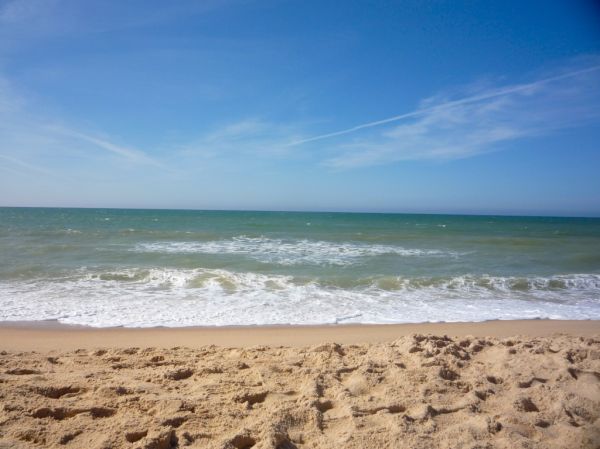
- Cabo de São Vicente: "The End of the World" - Europe's southwestern tip
What to Expect
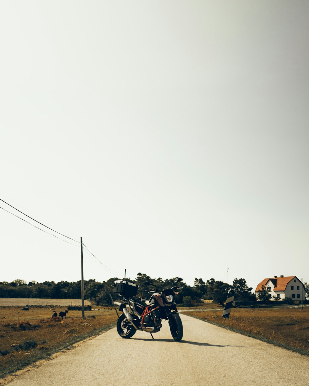
This is not a coastal walk - instead, you'll discover the authentic interior Algarve that most tourists never see. Expect challenging terrain, limited shade in many sections, and a genuine sense of adventure through remote countryside.
Best Time to Hike
The optimal hiking season is February to May and September to November. Summers are extremely hot with temperatures often exceeding 40°C, and water sources may be scarce.
Prefer a Guided Tour?
Go with a local guide who knows the best spots along this route
Algarve Wine Tour of Two Wine Estates
From €77
Benagil Cave - Sunrise or Sunset Kayak Tour (Small groups)
From €32
Algarve Tandem Skydive 15k ft (4600m)
From €219
Elevation Profile
Trail Details
Safety Notes
Long-distance trail requiring proper preparation. Carry sufficient water (3+ liters in warm months). Some stages have limited services. Let someone know your plans. Emergency: 112
Best Time to Visit
Best February-May and September-November. Avoid summer due to extreme heat (40°C+). Spring offers wildflowers; autumn has milder temperatures.
What's Nearby
Discover more within 10km


More Routes to Explore
Discover more of the Algarve

Fóia Trail
A scenic loop from the highest point in the Algarve (902m) through cork oak forests and eucalyptus groves, with panoramic coastal views.

São Lourenço Trail
An easy loop through the wetlands of Quinta do Lago, perfect for birdwatching with chances to spot flamingos and the rare Purple Swamphen.

Pontal da Carrapateira
A rugged headland walk on the western Algarve coast, with dramatic cliffs, sweeping beaches, and some of Portugal's best surf spots.