About This Place
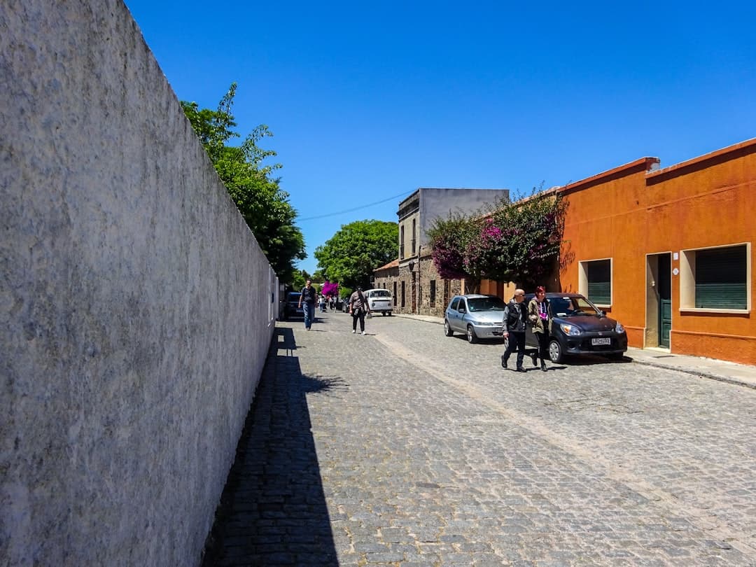
A small upland village west of Monchique, high in the Serra de Espinhaço de Cão, marking the point where the Via Algarviana leaves the mountains and starts its long descent to the Atlantic.
Marmelete sits at around 400 m on the western shoulder of the Serra de Monchique, about fifteen kilometres from Monchique town along a winding road through cork oak, eucalyptus and chestnut. It is a village of a few hundred people with a church, a café or two, a small shop and not much else — which is precisely why walkers value it.
The landscape
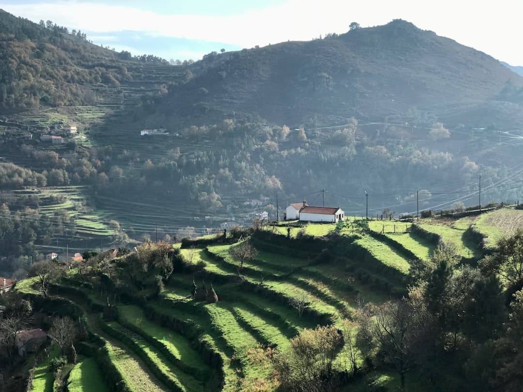
This is the wettest corner of the Algarve. Atlantic weather piles up against the Monchique massif and drops its rain here, which is why the vegetation looks nothing like the parched barrocal further east. Cork oak and chestnut grow well, and the hillsides are terraced with small farms. Medronho, the strawberry-tree spirit, is distilled locally and taken seriously.
The 2018 wildfire burned through this area with great severity, and the recovery is still visible in the landscape — blackened cork trunks putting out new growth, and large stands of replanted eucalyptus. It is worth understanding what you are looking at rather than assuming the hillsides always looked this way.
If you want the forest and the medronho explained properly, a guided walk with a distillery visit is the shortcut — the fire ecology in particular makes far more sense with someone who watched it happen.

For walkers
Marmelete is the end of Sector 11 of the Via Algarviana — 14.8 km from Monchique, with 814 m of ascent and 882 m of descent, graded III — Reasonably Hard. It climbs to around 844 m, close to the highest ground the trail reaches.
It is also the start of Sector 12 to Bensafrim — 30 km, graded IV — Hard, with 676 m of ascent but 1,030 m of descent. This is the long drop off the serra towards the coastal plain, and it is a genuinely big day. The trail starts at Coronel Artur Moreira Square, at approximately 37.3094, -8.6665.
Water is available at Marmelete, and given that Sector 12 is thirty kilometres with limited services en route, fill everything you carry. Accommodation exists but is very limited — book ahead through the Via Algarviana certified partner network.
Getting there
Access is by the M267 from Monchique, a steep and scenic drive. Bus services are minimal and not designed for visitors; most people arrive by car or on foot. If you are basing yourself on the coast, the Serra de Monchique day tours all pass within a few kilometres of here.

Getting Here
Weather & When to Visit
Warm and pleasant with fewer crowds. Sea temperature remains inviting.
Sunshine
300+ days/year
Sea Temp
17–23°C
Tips for Autumn
- Great time for cultural experiences
- Wine harvest season — visit local vineyards
- Sea is still warm enough for swimming
Best for this season
Best time to visit
April–June and September–October offer the best balance of pleasant weather, fewer crowds, and good prices.
Things to Do in Marmelete
Discover Activities Across the Region
While we're adding more activities for Marmelete, explore guided tours, coastal hikes, and unique experiences throughout the Algarve.
What's Nearby
Discover more within 10km
Fóia — Highest Point in the Algarve
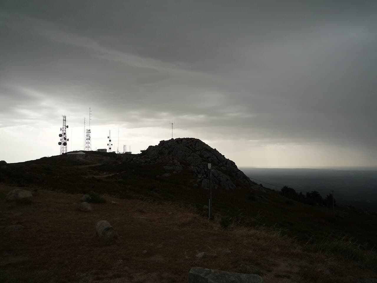
At 902m, Fóia is the highest point in the Algarve — the summit of the Serra de Monchique, with 360° views from the Atlantic coast to the Spanish border. Drive to the top, or hike from Monchique town.

Monchique
The Algarve's mountain town — Roman-era thermal springs, cork forests, medronho brandy, and the gateway to hiking trails up to Mount Foia at 902m.
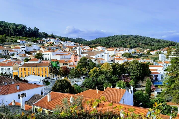
Silves and Monchique - Private
Immerse yourself in the rich history, culture, and beauty of the Algarve with us.
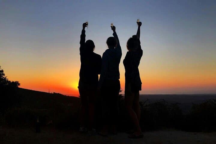
Evening 4x4 Tour of Monchique Hills with Dinner
This trip has to be one of the best ways to discover the real Algarve. Jump into a 4x4, leave the coast behind and make your way up into the Monchique hills. You'll discover a different Algarve with...
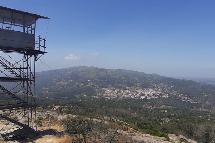
Adventure in Serra de Monchique - 4 Hours
Passing through the village of Monchique, stopping at the central square, entering a distillery for tasting regional products, visiting the highest point of the Algarve, discovering the fantastic and...
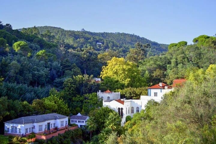
Monchique: A mountain range that challenges the senses
The highest point in the Algarve, Monchique captivates with its green surroundings, the simplicity of its people and the quality of its gastronomy. Its strategic location thanks to its mountains made...
More Places to Discover
Discover more of the Algarve
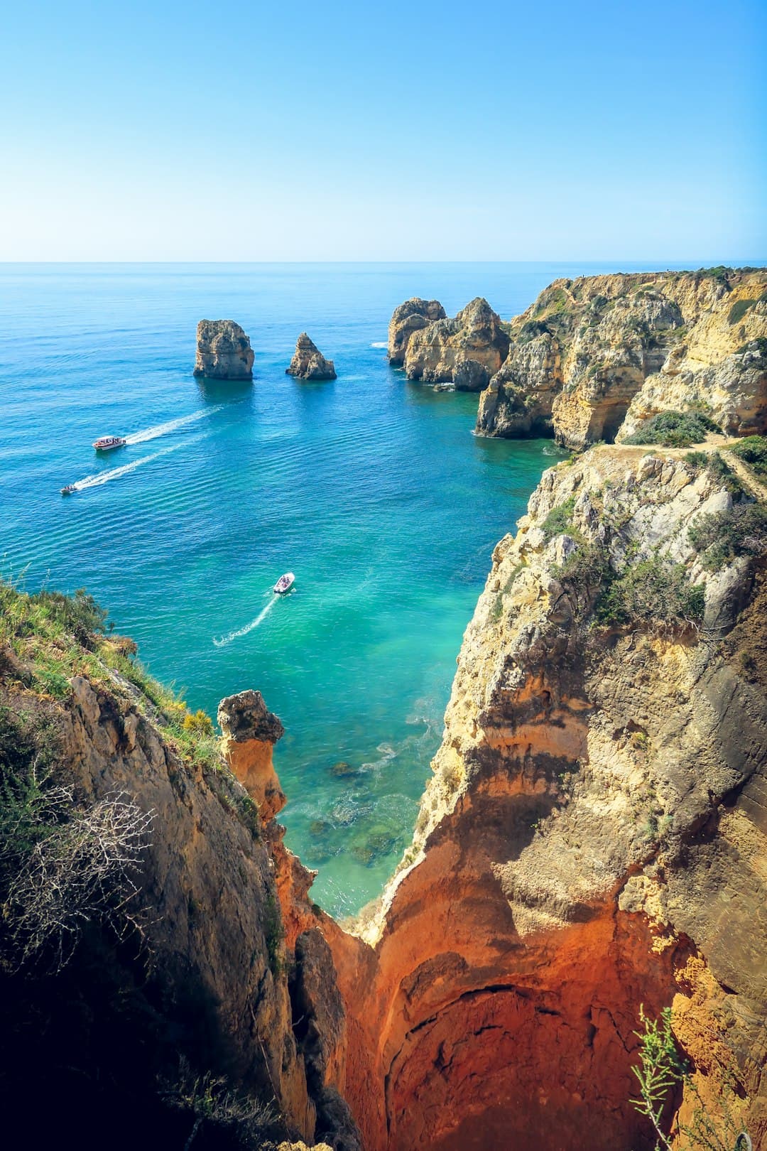
Vila do Bispo
The last town before the end of Europe — a working crossroads settlement in the far southwest, surrounded by the densest concentration of megalithic monuments on the Iberian Peninsula, and the final staging post on the Via Algarviana.