About This Place
A hilltop village in the Loulé barrocal with the remains of a Moorish castle, a striking viewpoint over the Serra do Caldeirão, and the meeting point of Via Algarviana Sectors 6 and 7.
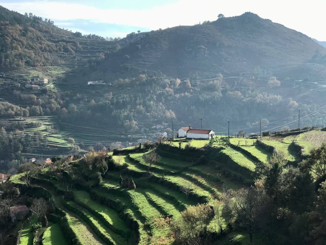
Salir sits on a low hill in the Loulé municipality, at the meeting point of the schist serra to the north and the limestone barrocal to the south. It is a working village rather than a tourist one — a few hundred people, a main church, a couple of cafés, a small museum, and views that go a long way in every direction.
The castle
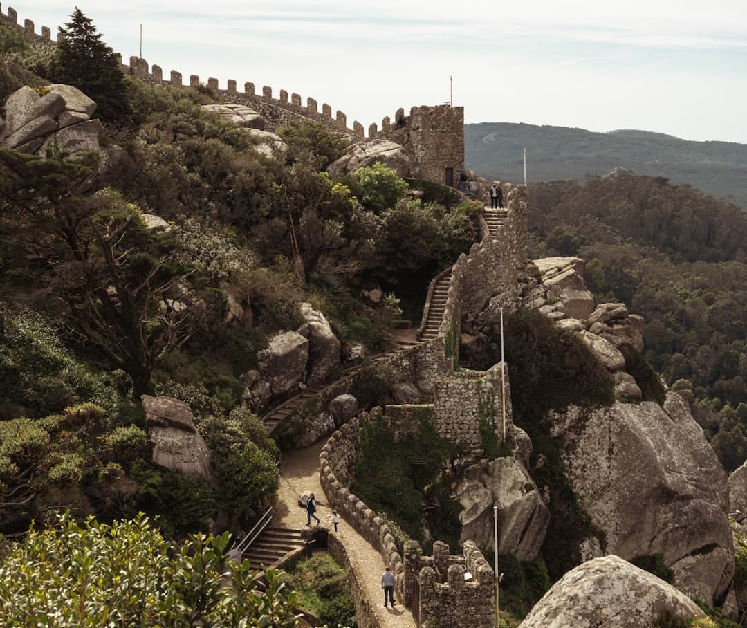
Salir's castle was built by the Almohads in the twelfth century, part of the defensive network protecting Moorish Silves. What survives is fragmentary but genuinely interesting: sections of rammed-earth taipa wall, built from red clay and lime, standing among the houses of the old quarter. An interpretation centre, the Pólo Museológico de Salir, explains the archaeology and lets you see excavated sections through glass panels set into the ground. The castle terrace is also the best viewpoint in the village, looking north across the serra.
Below the village, the Fonte Grande spring feeds a small stream and a shaded picnic area — a good spot in summer.
Salir sits in Loulé's hinterland, and the town's Saturday market is the regional event worth building a morning around — the same producers who supply the serra villages bring almonds, figs, honey and medronho down to it.

Rocha da Pena
Salir is the natural base for Rocha da Pena, the limestone plateau five kilometres west, which is one of the finest short walks in the interior Algarve and a protected site for rare flora and birds of prey.
For walkers
Salir is the end of Sector 6 of the Via Algarviana — 14 km from Barranco do Velho, a descending day with 459 m of ascent against 707 m of loss. The trail starts at the square by Salir's main church, at approximately 37.2412, -8.0430.
It is also the start of Sector 7 to Alte, 16.4 km with 437 m of ascent and 499 m of descent, graded III — Reasonably Hard. Water is available at Salir, and the village has enough services to resupply properly. After the austerity of the Serra do Caldeirão sectors, Salir feels almost metropolitan.
Getting there
Salir is roughly 15 km north of Loulé on the M524. Vamus Algarve runs buses from Loulé, but the service is built around school and market schedules rather than visitors — check timetables. Parking in the village is straightforward outside of festival days.
Getting Here
Weather & When to Visit
Warm and pleasant with fewer crowds. Sea temperature remains inviting.
Sunshine
300+ days/year
Sea Temp
17–23°C
Tips for Autumn
- Great time for cultural experiences
- Wine harvest season — visit local vineyards
- Sea is still warm enough for swimming
Best for this season
Best time to visit
April–June and September–October offer the best balance of pleasant weather, fewer crowds, and good prices.
Things to Do in Salir
Discover Activities Across the Region
While we're adding more activities for Salir, explore guided tours, coastal hikes, and unique experiences throughout the Algarve.
What's Nearby
Discover more within 10km
Rocha da Pena
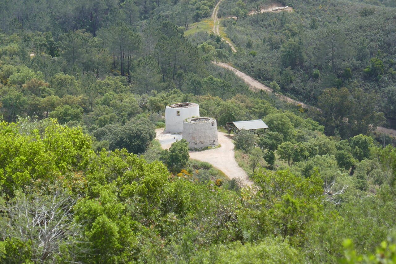
A 479m limestone plateau rising out of the Algarve's interior, with a 4.8 km loop trail past wildflower meadows, vultures overhead, and 360° views. One of the best short hikes in the Algarve.
More Places to Discover
Discover more of the Algarve
Vila do Bispo
The last town before the end of Europe — a working crossroads settlement in the far southwest, surrounded by the densest concentration of megalithic monuments on the Iberian Peninsula, and the final staging post on the Via Algarviana.