
About This Route
Challenging 10km hike to the highest point in the Algarve (902m) through chestnut forests with views to the Atlantic.
Monchique Foia Summit Trail
Climb to the roof of the Algarve on this challenging mountain hike. Foia (902m) is the highest point in southern Portugal, offering views across the entire region to the Atlantic.
Route Overview
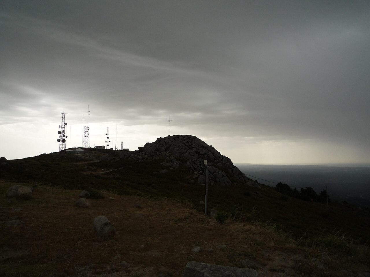
The trail ascends from the spa town of Caldas de Monchique through dense forest to the summit with its telecommunications towers and panoramic viewpoint.
Highlights
- Highest point in Algarve - 902m summit with viewing platform
- 360-degree views - Atlantic coast, Spanish border, Serra de Monchique
- Chestnut forests - Ancient woodlands unique in the Algarve
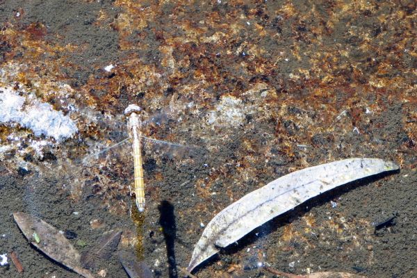
- Mountain flora - Rhododendrons, heather, and endemic species
- Caldas de Monchique - Historic spa town at the start
Trail Details
Steady climb through forest with steeper sections near the summit. Well-marked with GR signs. Summit has tourist facilities.
Best Time
- Clear winter days: Best visibility from summit
- Spring: Wildflowers and comfortable temperatures
- Avoid summer - very hot on exposed sections
Getting There
Start from Caldas de Monchique spa (parking available). Alternative start from Monchique town. Bus service to Caldas from Portimao.
Prefer a Guided Tour?
Go with a local guide who knows the best spots along this route

Monchique and Aljezur: Mountain vs the Ocean - Private From Lagos
From €120

Evening 4x4 Tour of Monchique Hills with Dinner
From €91

Lost Heritage of Silves & Monchique Shared Experience
From €135
Elevation Profile
Trail Details
Safety Notes
Challenging ascent - good fitness required. Bring plenty of water (3L). Weather can change quickly at altitude - bring layers. Navigation straightforward but carry map.
Best Time to Visit
Best spring and autumn. Summer very hot - start early. Winter clear days offer best views but can be cold at summit. Fog possible any time.
What's Nearby
Discover more within 10km

More Routes to Explore
Discover more of the Algarve

Fóia Trail
A scenic loop from the highest point in the Algarve (902m) through cork oak forests and eucalyptus groves, with panoramic coastal views.

São Lourenço Trail
An easy loop through the wetlands of Quinta do Lago, perfect for birdwatching with chances to spot flamingos and the rare Purple Swamphen.

Pontal da Carrapateira
A rugged headland walk on the western Algarve coast, with dramatic cliffs, sweeping beaches, and some of Portugal's best surf spots.