About This Route
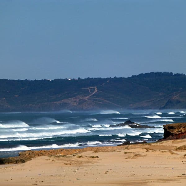
The Algarve's most famous coastal walk: 5.7 km one way along the Lagoa clifftop between Praia da Marinha and Vale Centeanes, past the Benagil algar, sea arches and seven dry hanging valleys. Officially graded Medium.
Seven Hanging Valleys Trail (PR1 LGA)
The Percurso dos Sete Vales Suspensos is the most walked trail in the Algarve, and with good reason. It runs for 5.7 km one way along the Lagoa clifftop between Praia da Marinha and Praia de Vale Centeanes, crossing seven hanging valleys — dry river mouths left stranded above the sea as the limestone cliffs eroded back beneath them.
It is a linear route, not a loop, marked in both directions to Federação de Campismo e Montanhismo de Portugal standards with yellow-and-red flashes. Almost everyone walks it out and back, which makes the real day 11.4 km.
Verified trail data
| Official code | PR1 LGA |
| Municipality | Lagoa |
| Type | Linear (marked both ways) |
| Distance | 5.7 km one way / 11.4 km out and back |
| Official time | 3 h one way / 6 h return |
| Ascent | 360 m D+ from Praia da Marinha; 370 m D+ from Vale Centeanes |
| Ascent, full return | ~730 m |
| Highest point | 45.5 m, above Praia de Vale Centeanes |
| Lowest point | 7.5 m, at Benagil |
| Official grade | Média / Medium |
| Surface | Rocky dirt paths, uneven underfoot |
| Best season | Spring and autumn |
Trailhead coordinates: Praia da Marinha 37°05'24.59"N 8°24'46.74"W · Vale Centeanes 37°05'29.31"N 8°27'14.33"W
Note that the widely-quoted "200 m of elevation gain" figure is wrong. The official municipal figure is 360 m D+ one way, and the real out-and-back total is roughly double that.
Waypoints, west to east
| km | Waypoint |
|---|---|
| 0.0 | Praia de Vale Centeanes — car park, seasonal café, steps to beach |
| 0.8 | Alfanzina Lighthouse — Aleppo pine grove, the only real shade on the route |
| 1.6 | Praia do Carvalho — reached by a tunnel cut through the rock |
| 2.4 | Algar de Benagil — the sinkhole above the cave. Fenced. Do not climb in |
| 2.6 | Benagil — beach, café, boat and kayak departures |
| 3.5 | Leixão do Ladrão — the great sea stack, subject of the Moorish princess legend |
| 4.5 | First of the hanging valleys proper; arches and algares |
| 5.7 | Praia da Marinha — the double arch, car park, snack stands, seasonal restaurant |

Which direction, and how to get back
Both trailheads have car parking, so you can walk it one way and taxi back — roughly a fifteen-minute drive via Carvoeiro. Starting at Praia da Marinha and walking west puts the sun behind you in the morning and finishes closer to Carvoeiro.
If you only have time for part of it, the section between Benagil and Praia da Marinha holds most of the arches, the algares and the best of the cliff scenery. The stretch beyond Alfanzina towards Vale Centeanes is quieter but less spectacular.
The Benagil sinkhole — read this
The algar above Benagil Cave is an open hole in the clifftop with an unprotected drop into the cave chamber below. People have died here. It is fenced, the fence is there for a reason, and no photograph is worth it. The cave itself is only accessible from the water, by boat, kayak or SUP from Benagil beach.
Sea, cliff and heat
The cliffs are unfenced for almost the entire route and the limestone is undercut in places — the ground you are standing on may have nothing beneath it. Stay well back from the edge, particularly at the hanging valleys where the erosion is most active.
There is effectively no shade apart from the pine grove at Alfanzina. In July and August, walk at first light or after five, and carry more water than you think you need. There is no drinking water on the route.
Geology and wildlife
The valleys are old river mouths, cut off as the sea eroded the cliff line back past them — hence "hanging". The algares are sinkholes, where cave roofs have collapsed to open a shaft to the surface.
The Aleppo pine stand near Alfanzina Lighthouse works as an ecological island, holding tits, blue rock thrushes and little owls. Rabbit, Egyptian mongoose and fox are all present in the scrub. Offshore, look for gannets in winter and shearwaters in autumn.
Getting there
Praia da Marinha is signposted from the M1273 off the N125 near Lagoa; the car park is large but fills by 10am from June to September. Vale Centeanes is signposted from Carvoeiro and has a smaller car park.
Route data verified against the official PR1 LGA leaflet (Câmara Municipal de Lagoa / FCMP) and the Algarve Tourism Bureau trail record, August 2026.
Prefer a Guided Tour?
Go with a local guide who knows the best spots along this route

Benagil Kayak Tour at Sunrise and Sunset - Exclusive Small Group
From €40

Sunrise Tour to Caves in Benagil
From €35

Private Yacht Cruise to the Benagil Caves & Marina Beach
From €474
Elevation Profile
Trail Details
Safety Notes
Cliffs are unfenced and the limestone is undercut in places — stay well back from the edge. The algar (sinkhole) above Benagil Cave is an unprotected drop into the cave chamber; it is fenced and people have died there. Do not climb in. No drinking water anywhere on the route and effectively no shade apart from the pine grove at Alfanzina. Not suitable for pushchairs. Emergency: 112.
Best Time to Visit
Officially recommended for spring and autumn. Summer is hot, shadeless and very crowded — if you must walk it in July or August, start at first light or after 17:00. Avoid in rain or strong onshore winds, when the clifftop becomes genuinely dangerous. Winter is quiet and often excellent, with clear light and empty beaches.
What's Nearby
Discover more within 10km

Benagil
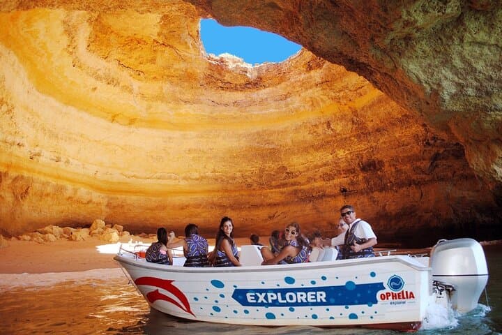
Home to Portugal's most famous sea cave — a natural cathedral with a collapsed ceiling that floods the sandy beach inside with light. Best reached by kayak from tiny Benagil village.
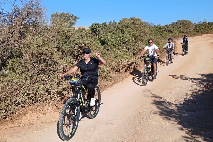
E-Bike Tour: Sete Vales Suspensos Trail (Marinha and Benagil)
Discover the most beautiful and hidden path in Europe by bike and hike with B-Tours Adventures, where only the guide knows the best paths to follow and knows the access to incredible places and the...

Small Group Paddleboard Tour to the Benagil Cave with 4K Photos
Begin at Carvalho's Hidden Gem: Your journey begins at the breathtaking and secluded Carvalho's Beach, enveloped by limestone cliffs and accessible through a historic tunnel

Express Tour - Benagil Cave
We visited between 6/8 caves and deserted beaches. It also includes the Benagil Cave, Praia da Marinha, among others. Our aim is to provide unique moments! Not only with the beauty of our caves but...
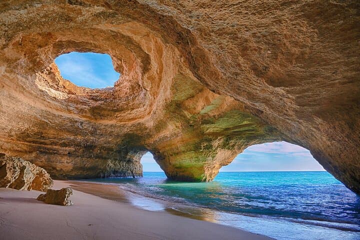
The #1 PaddleBoarding to Benagil Cave Experience
The "Bruno" Difference: 100% Native, 0% Tourist Trap Most guides moved here last summer; Bruno was born and raised on these very sands. You aren’t just booking a tour; you’re joining a local legend....
More Routes to Explore
Discover more of the Algarve
Fóia Trail
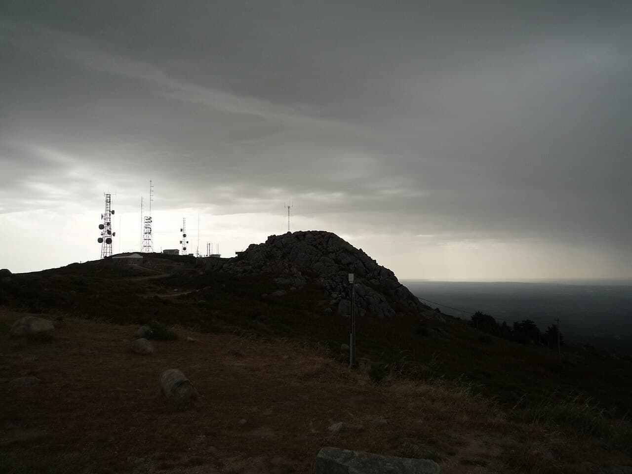
The official PR3 MCQ circular on the Algarve's highest mountain: 6.8 km starting at the Fóia summit car park, descending to the EN 266 and climbing back. Rated somewhat difficult, with rare Monchique rhododendron in spring.