
About This Route
First stage of the legendary 300km Via Algarviana from the Spanish border at Alcoutim through remote hills to Vaqueiros.
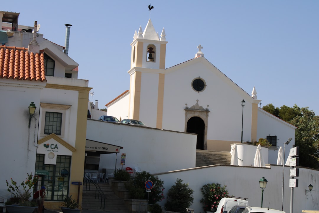
Via Algarviana - Stage 1: Alcoutim to Vaqueiros
The Via Algarviana is a 300km long-distance trail crossing the Algarve from the Spanish border to Cape St. Vincent. Stage 1 begins at the historic riverside town of Alcoutim on the Guadiana River.
Route Overview
This opening stage traverses the remote northeastern Algarve, passing through cork oak forests, abandoned villages, and traditional agricultural landscape. It's a wonderful introduction to the interior Algarve that most tourists never see.
Highlights
- Alcoutim - Whitewashed town facing Spanish Sanlucar across the river
- Castle views - Historic fortress overlooking the Guadiana
- Cork oak landscape - Working cork forests still harvested traditionally
- Rural isolation - Experience the quiet interior Algarve
- Wildlife - Eagle owls, wild boar, deer
Trail Details
Well-waymarked with GR13 markers. The terrain is rolling hills with some steep sections. Navigation is straightforward but carry a map.
Best Time
- Spring: Wildflowers and comfortable temperatures
- Autumn: Cork harvest season, golden light
- Avoid summer - this area gets very hot with no shade relief
Getting There
Alcoutim is accessible by bus from Vila Real de Santo Antonio. Consider arranging taxi transfer from Vaqueiros back to your car, or plan to continue the Via Algarviana.
Prefer a Guided Tour?
Go with a local guide who knows the best spots along this route
Private Benagil Caves & Algarve Coast Boat Tour from Portimão
From €350
Boat tour Benagil Caves
From €28
Alvor Sunset Cruise 2 Hour Scenic Tour with Drinks
From €42
Elevation Profile
Trail Details
Safety Notes
Remote area with limited mobile coverage. Carry at least 3L water. No facilities between villages. Let someone know your plans. Wild boar present but not dangerous.
Best Time to Visit
Avoid summer heat (June-September). Best March-May and October-November. Winter passable but days are short.
What's Nearby
Discover more within 10km
More Routes to Explore
Discover more of the Algarve

Fóia Trail
A scenic loop from the highest point in the Algarve (902m) through cork oak forests and eucalyptus groves, with panoramic coastal views.

São Lourenço Trail
An easy loop through the wetlands of Quinta do Lago, perfect for birdwatching with chances to spot flamingos and the rare Purple Swamphen.

Pontal da Carrapateira
A rugged headland walk on the western Algarve coast, with dramatic cliffs, sweeping beaches, and some of Portugal's best surf spots.