About This Place
A scattered farming hamlet in the Alcoutim hills, and the end of the first sector of the Via Algarviana — the point where most through-walkers realise how remote the eastern Algarve really is.
Balurcos is not really one place. It is a scatter of small settlements — Balurcos de Cima, Balurcos de Baixo, and a handful of outlying farms — spread across the dry hills of the Alcoutim municipality in the far northeastern Algarve. It sits on the EN 122, the road that runs inland from Vila Real de Santo António, and that road is the reason it appears on the map at all.
For walkers, Balurcos matters because it is where Sector 1 of the Via Algarviana ends, 24.2 km and roughly seven hours after leaving the Guadiana riverfront at Alcoutim. The Via Algarviana information panel stands at the junction beside the EN 122, at around 37.4255, -7.5076.
What to expect
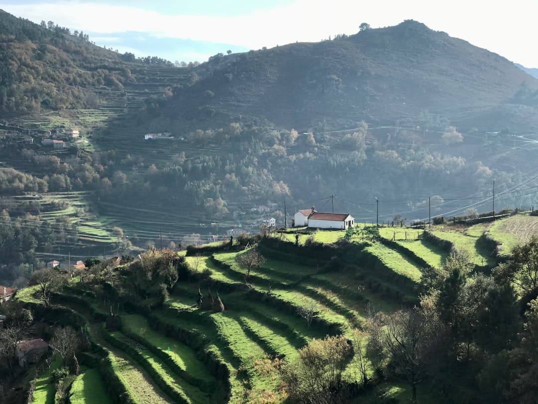
Very little, and that is the point. This is one of the most sparsely populated corners of Portugal, a landscape of schist and greywacke, drystone walls, carob and fig trees, and abandoned terraces slowly returning to cistus scrub. The population has been falling for a century. You will see more azure-winged magpies than people.
There is no tourist infrastructure. Accommodation is limited and should be arranged well in advance through the Via Algarviana certified partner network — turning up and hoping is not a strategy here. Water is available, but check locally rather than assuming.
Getting there
Vamus Algarve bus line 34 runs between Balurcos de Cima and Vila Real de Santo António, calling at Alcoutim. Services are infrequent and thin out considerably at weekends, so check timetables before relying on them.
If you would rather see this corner of the Algarve without building a walking holiday around it, a guided day out from the coast covers the eastern interior and the Guadiana towns in a single trip.

Nearby
The Alcoutim riverfront, 12 km north, is the nearest place with a castle, museums, cafés and a ferry across the Guadiana to Spain — and it is where the Via Algarviana begins.
Getting Here
Weather & When to Visit
Warm and pleasant with fewer crowds. Sea temperature remains inviting.
Sunshine
300+ days/year
Sea Temp
17–23°C
Tips for Autumn
- Great time for cultural experiences
- Wine harvest season — visit local vineyards
- Sea is still warm enough for swimming
Best for this season
Best time to visit
April–June and September–October offer the best balance of pleasant weather, fewer crowds, and good prices.
Things to Do in Balurcos
Discover Activities Across the Region
While we're adding more activities for Balurcos, explore guided tours, coastal hikes, and unique experiences throughout the Algarve.
What's Nearby
Discover more within 10km

Via Algarviana — Alcoutim Trailhead
The eastern start of the Via Algarviana — Portugal's 300 km coast-to-coast walking trail. Begins on the Guadiana River in Alcoutim and crosses the entire Algarve interior to Cape St. Vincent.
Alcoutim
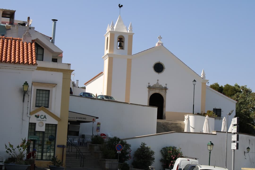
Remote inland village on the Guadiana River facing Spanish village of Sanlúcar de Guadiana. Medieval castle, river beaches, almost total tranquility. Zip wire across the river.
More Places to Discover
Discover more of the Algarve
Vila do Bispo
The last town before the end of Europe — a working crossroads settlement in the far southwest, surrounded by the densest concentration of megalithic monuments on the Iberian Peninsula, and the final staging post on the Via Algarviana.